Via S. Biagio - Unchio (VB)


 110m
110m  95m
95m  0:50h
0:50h  2.70km
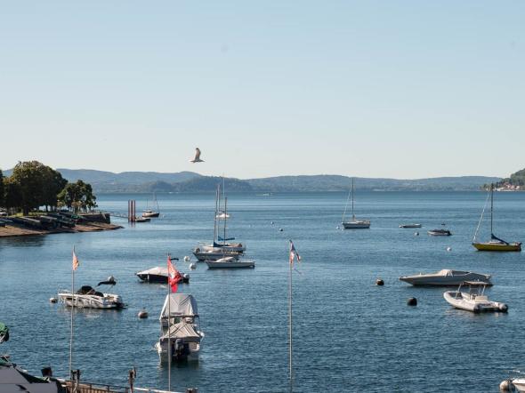
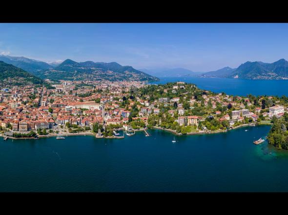
We propose a pleasant walk that touches upon the most significant places of Motto di Unchio. This route has been well described by Tullio Bagnati and Giancarlo Martini in their book "Andar per monti e panorami del Lago Maggiore" (Ed. Tararà - 2008).
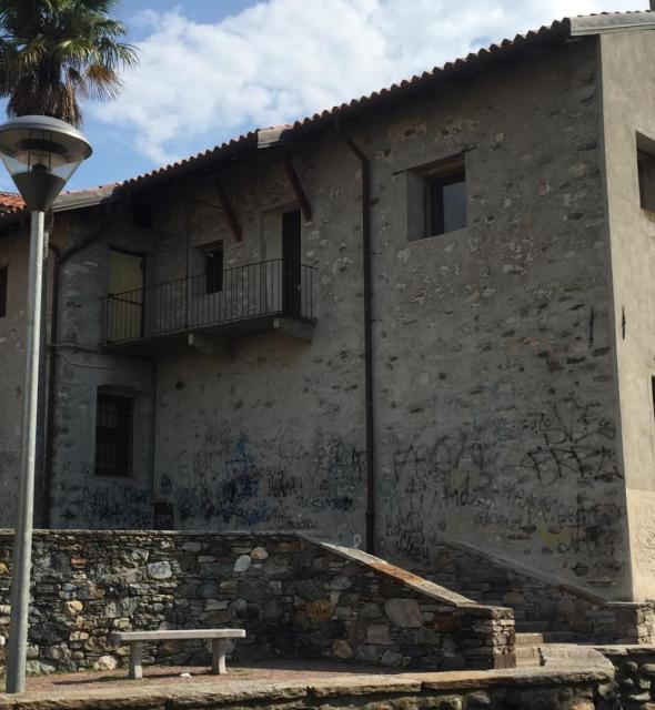
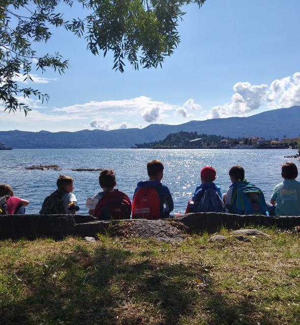
"Next to the parish church of Unchio, take the asphalt road leading to the cemetery, and immediately after, turn left onto Via alla Bordana, which approaches the slopes of Motto. Shortly after, still to the left, the ascent begins, dotted with chapels of the Via Crucis, first on an asphalt road, then on a mule track. At the first hairpin turn, another branch of the Via Crucis merges, coming up from Via Maggiore. As you ascend, the panorama widens to include the village of Unchio, Monte Rosso, Lake Maggiore with the Varese Prealps and Mottarone. This leads to the oratory of Maria Santissima al Motto."
Just before reaching the Oratory, on the left, there is an isolated chapel, called "Capela dul Luv," never frescoed. In the immediate vicinity, areas of archaeological and environmental interest can be visited; just behind the "Capela dul Luv," a large rocky surface emerges, where, years ago, 43 cup marks were discovered.
From this point, turn right and, after crossing a stream, reach a wetland area with an explanatory panel about peat bogs. Then continue descending to reach the lower plateau and proceed to the right, approaching a stream and then reaching a small chapel called Capelin or Gesulin.
At this point, it is necessary to avoid following the paths that descend and continue on less marked tracks. Only later, while still circling Motto, does the descent trail begin, passing over a dwelling and then reaching the asphalt road that leads back to the starting point. Motto di Unchio is a suitable place for excursions in any season of the year. Trail
Classification:
T (touristic)